Aviculopecten occidentalis
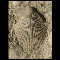
- Phylum: Mollusca
- Class: Bivalvia
- Order: Pterioida
- Family: Aviculopectinidae
- Genus: Aviculopecten
- Species: Aviculopecten occidentalis
Geological Range
Morrowan to Virgilian (also Mississippian); Extinct.
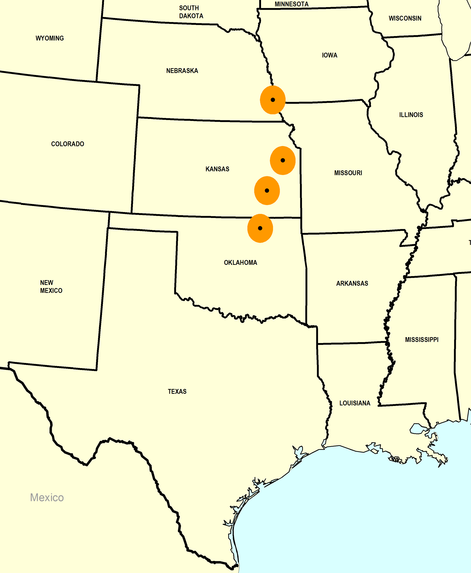
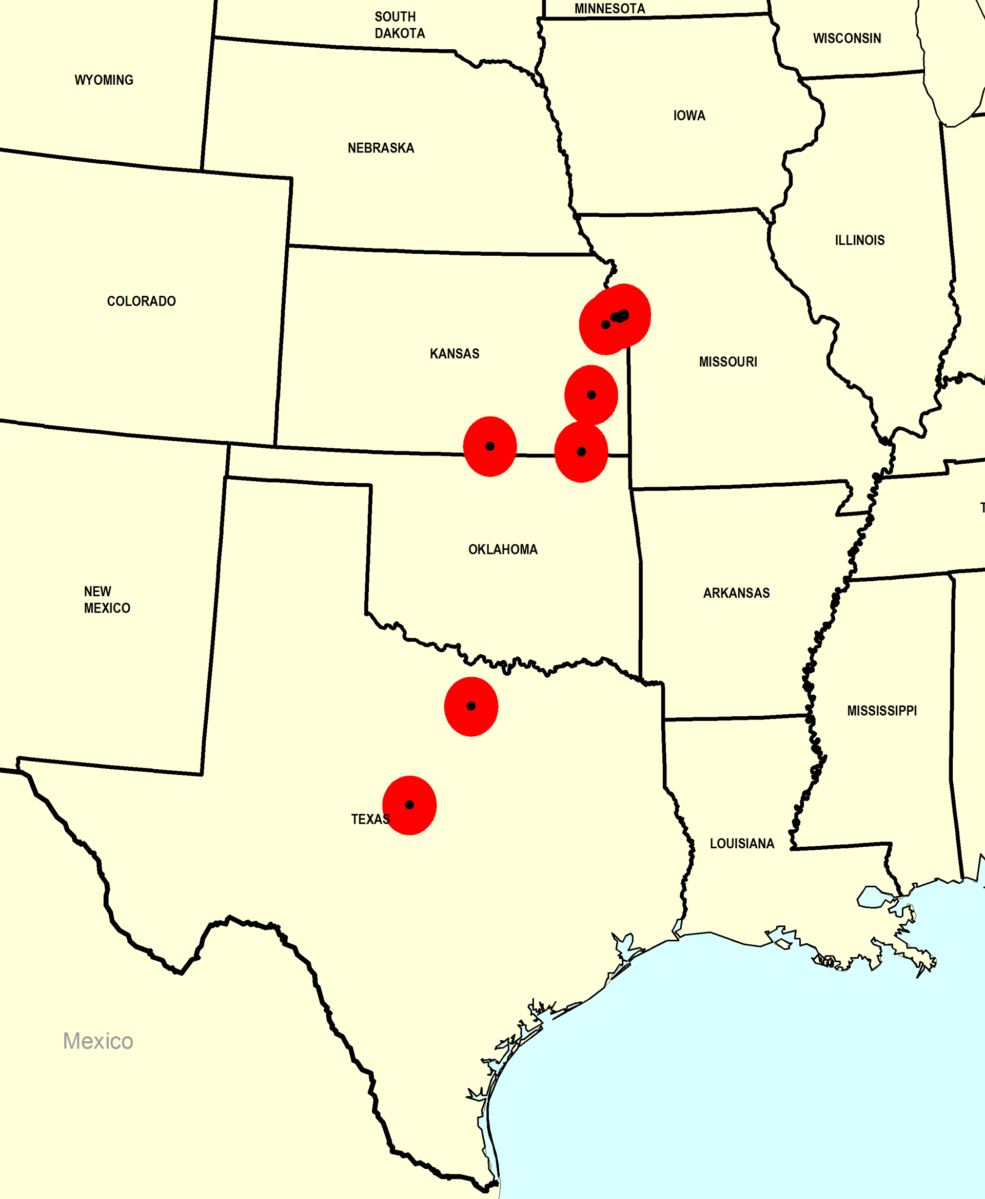
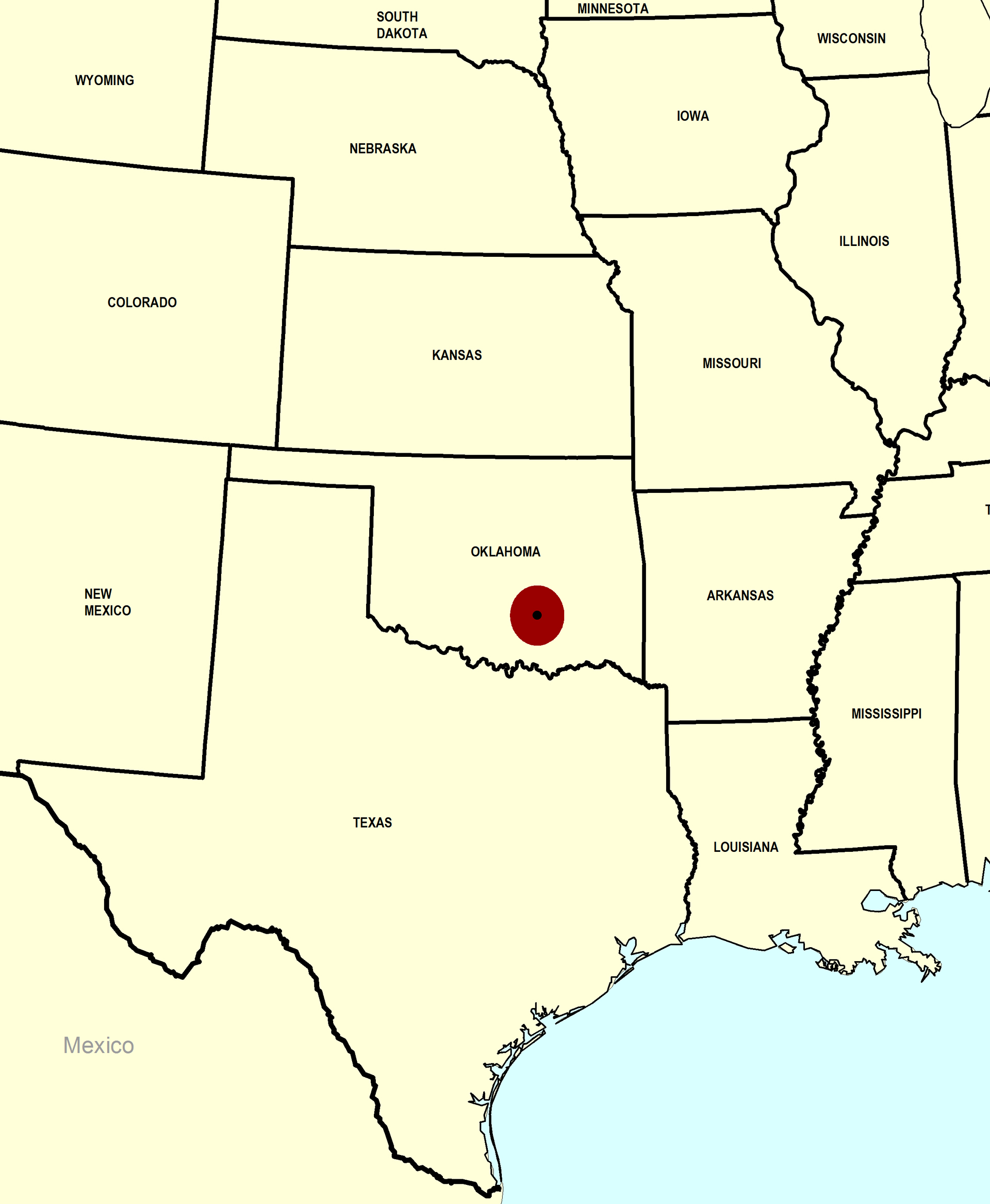
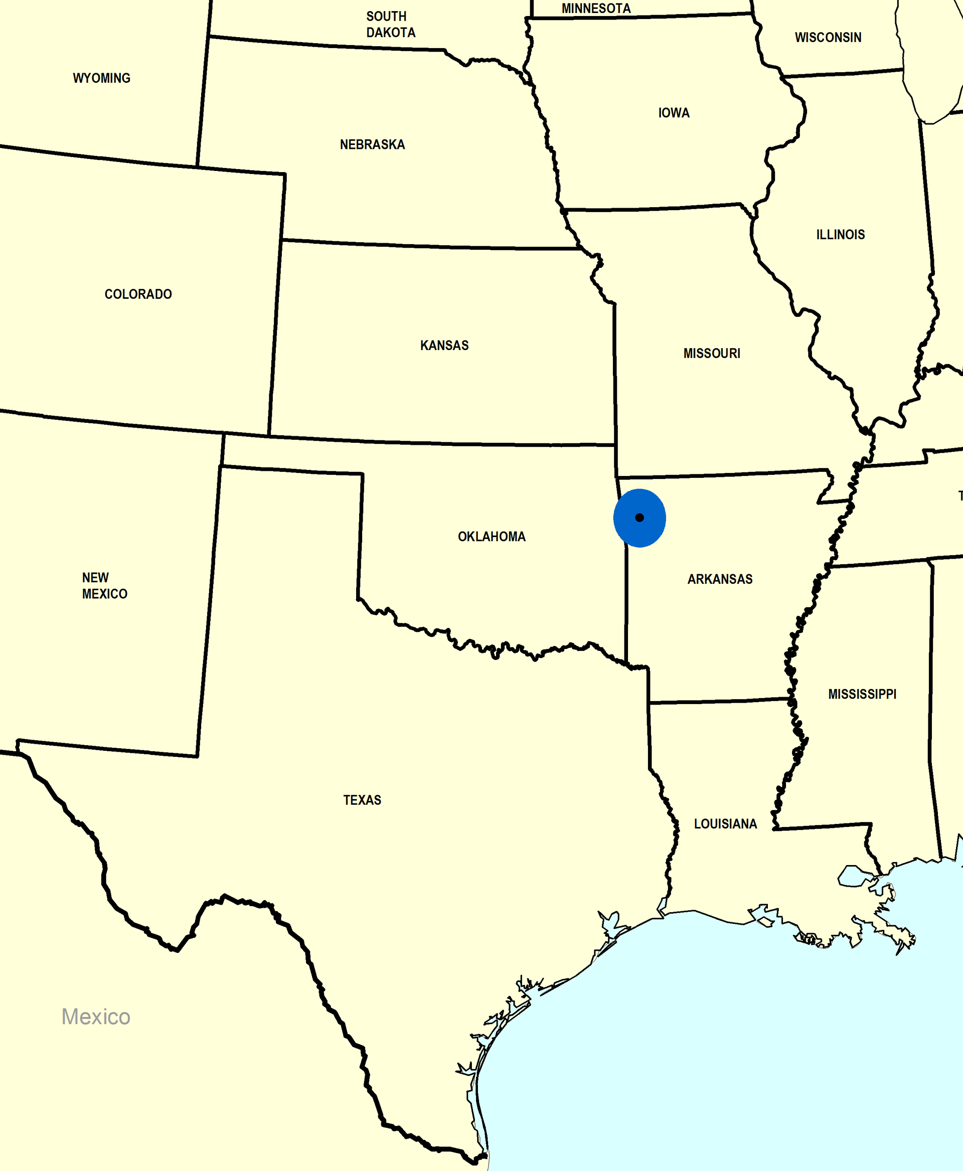
Paleogeographic Distribution
Texas to Nebraska.
Stratigraphic Occurrences
- Virgilian
- Kanwaka Shale (KS)
- Oread Limestone (Kereford Limestone Member) (KS)
- Root Shale (French Creek Shale Member) (NE)
- Topeka Limestone (OK)
- Missourian
- Bonner Springs Shale (KS)
- Checkerboard Formation (KS)
- Cherryvale Shale (Westerville Limestone Member) (KS)
- Drum Limestone (KS)
- Graford Formation (Brownwood Shale Member) (TX)
- Lane Shale (KS)
- Plattsburg Limestone (KS)
- Plattsburg Limestone (Merriam Limestone Member) (KS)
- Wyandotte Limestone (Farley Limestone Member) (KS)
- Desmoinesian
- Boggy Formation (OK)
- Morrowan
- Morrow Formation (AR)
- Unknown Stage
- Cherokee Shale (MO)
- Coal Measures (KS)